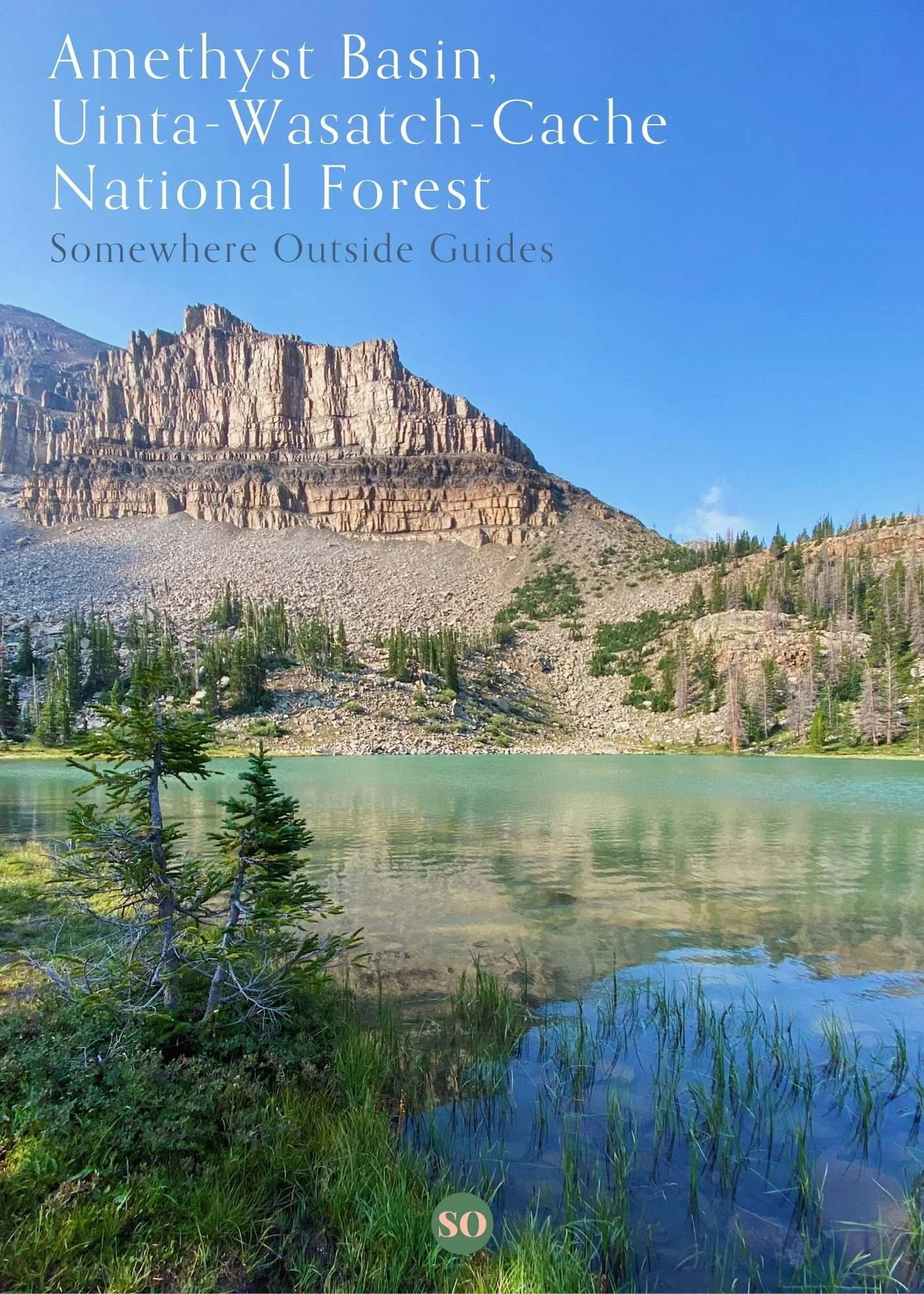
 Image 1 of 7
 Image 2 of 7
 Image 3 of 7
 Image 4 of 7
 Image 5 of 7
 Image 6 of 7
 Image 7 of 7
An easily downloadable, detailed compilation of everything needed to plan an exceptional trip to Amethyst Basin, Uinta-Wasatch-Cache National Forest.
Guide Includes:
Best Time to Travel
Detail Route Information including Days Needed, Mileage, Elevation, Campsites and More
Trip Report including Directions, Landmarks, Trail Names and More
Custom AllTrails Map for Live GPS Tracking
How To Get There and Trailhead Information
Packing List
Gear Recommendations
What to Know Before You Go
Wilderness Information
Trip Checklist
Guide will be sent immediately after purchase via email with a downloadable link in PDF file format. The download link expires 24 hours after first download so be sure to save to a computer, tablet or smart phone after opening.
Guide can be used for all pre-trip planning and taken with you on the trip itself, making your next adventure easier and more informed than ever!